Integration of satellite images to agricultural applications by deep learning
Dashboard for Agricultural Monitoring.
Dashboard is a simple service where you can visually operate with Satellite imagery and Weather data for your fields. Just draw your polygon on the map and immediately get Satellite imagery, NDVI / EVI vegetation indices, Hourly and Daily weather forecasts, Historical NDVI chart and others.
Learn moreForest Ministries
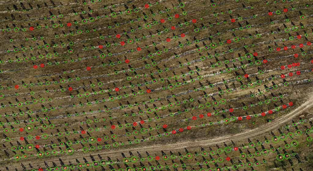
In contrast to the personal on-site observation, remote sensing is information acquisition about an object or a phenomenon without making physical contact with it.
DetailsAgriculture Ministries
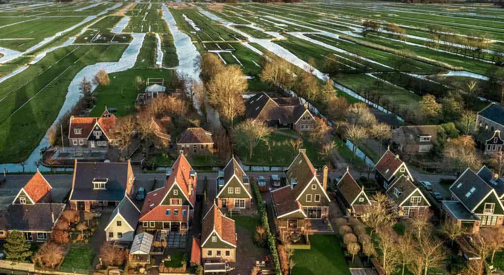
The Netherlands is one of the world’s largest agricultural producers, exporting 65 billion Euros worth of vegetables, fruit, flowers, meat and dairy products each year.
DetailsMunicipalities
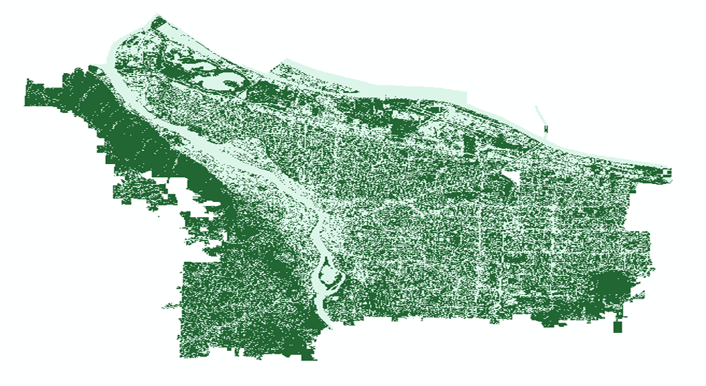
Urban green space, discovered by optical remote sensors, is the area covered by terrestrial vegetation in urban areas, and is considered an important factor in urban sustainability.
DetailsAgricultural Insurance Companies
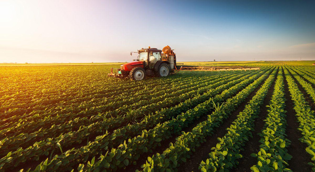
Satellite intelligence is enriching new insurance products aimed at helping Agricultural Insurance Companies to withstand climate shocks.
DetailsAgronomists
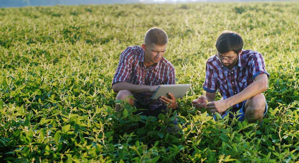
A valuable tool for Agronomists. Satellite imagery that combines real-time remote sensing together with agronomy measurements is the next advance in precision farming in world.
DetailsFarmers
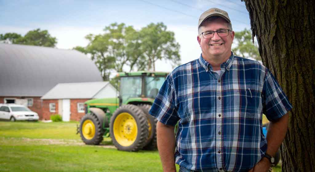
Farms consume large amounts of fertiliser and plant protection products. The SatLander application processes satellite data to help farmers monitor crop changes.
Details