Introduction to remote sensing
Demand for remote sensing service: When working in sustainable resource management such as forest landscape management (e. g. forestry, conservation, forest certification, agroforestry), remote sensing applications have become a valuable information source to support management decision making.
Remote sensing: In contrast to the personal on-site observation, remote sensing is information acquisition about an object or a phenomenon without making physical contact with it. Its advantage is the ability to efficiently collect data of large, inaccessible and remote landscapes such as forests.
Applications in Natural Resources Management
The following list should provide and an idea of the potential scope of remote sensing applications for natural resources management:
-
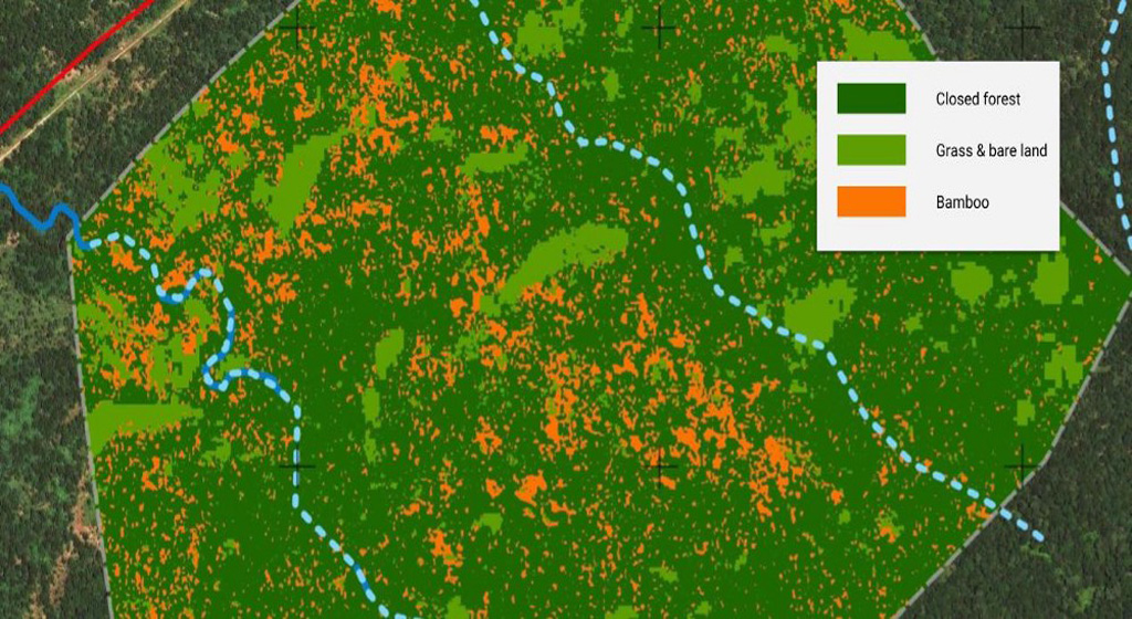
Land cover analysis
-
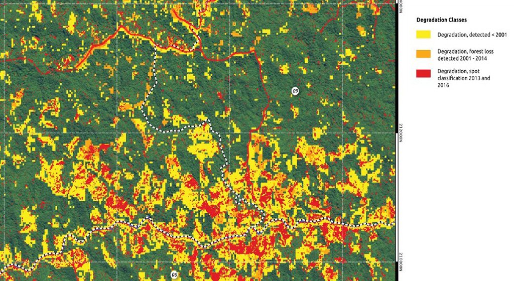
Land-use change detection
- Distribution of timber resources
- Determination of carbon stock
-
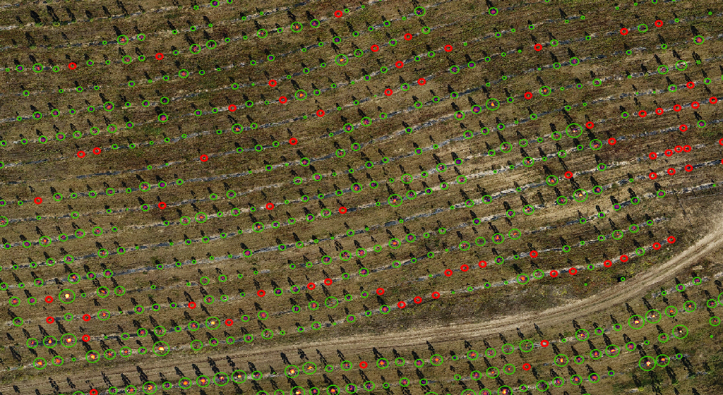
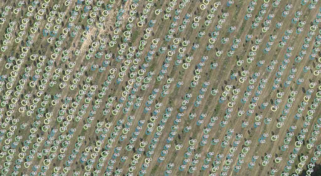
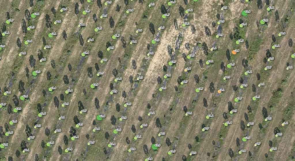
Tree detection for automated forest inventories
-
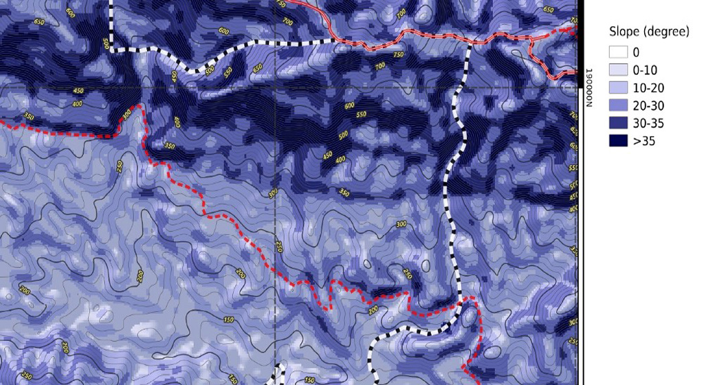
Analyses of slope steepness
- High-resolution orthophoto maps for visual interpretation
- Detection of human-caused disturbances like encroachment and illegal logging
- Monitoring of the logging impact
- Determination of areas with plant stress
- Stratification of productivity zones
- Fire threat and fire detection
- Pest and disease spread
- Wildlife observation
For someone, who is not working on a daily base with remote sensing data, the big number of data sources, their specifications and the multitude of potential analysis can be quite challenging.